Home Quizzes School Primary school Grade 4 Maps and the compass Grade 4 · Discovering the world
Discovering the world quiz for grade 4: Maps and the compass This quiz helps revise “Maps and the compass” in Discovering the world for grade 4. It has 25 questions in five categories: Compass directions, The compass, Plans and globes, Scale and symbols, Colors of the map. Questions get harder as the points go up, from 100 to 500.
Play↗
A peek at the questions The 100- and 200-point questions are open here. The rest show only their first words, and there are no answers: all of that is in the game itself.
Compass directions 100 How many main cardinal directions are there on a compass rose?
200 In which cardinal direction does the Sun generally set?
300 Which star in Ursa…
400 Can the location of…
500 Which intermediate direction is…
The compass 100 What is the name of the magnetized pointer in the centre of a compass that spins freely on a pin?
200 In which ancient country was the magnetic compass first invented?
300 In what position must…
400 Which small objects attract…
500 What causes a magnetized…
Plans and globes 100 What do we call a round, three-dimensional spherical model that represents planet Earth?
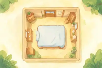
200 From which viewpoint are objects shown on a room floor plan?
300 What do we call…
400 What do we call…
500 Which spacecraft orbiting Earth…
Scale and symbols 100 What do we call the guide on a map that explains its symbols and colours?
200 On a map with a scale of 1:100,000, what real-world distance does 1 cm represent?
300 Which transportation route is…
400 Which common measuring tool…
500 What is the dividing…
Colors of the map 100 Which colour is used on a physical map to represent oceans, seas, and rivers?
200 The photo shows mighty snow-capped mountain ridges. Which colour is used for mountains on a physical map?
300 What physical feature of…
400 The photo shows a…
500 What is the name…
Play this quiz All 25 questions and the answers are in the game. Invite your class or friends with a link — guests need no account.
Play↗
How it works Pick a quiz and press “Play”. Send students or friends the link — they join from a phone or a computer. Choose questions on the board, buzz in first and collect points.